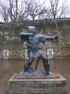
Now that the waters seem to finally be subsiding after the wettest six months on record it’s time to resume my walk along the river Trent. This stage fills in the gap in my route that I have left on the way going downstream into Nottingham from the west. This is a short stage and nearly all of it is on firm paths or tarmac. This means it can be done after wet weather with no danger of getting muddy. Direction finding is easy as you are by the river nearly all the way. I give a description of a walk back to the start using the canal.
Start: Attenborough station
Finish: Trent Bridge, Nottingham (or return to Beeston and Attenborough using my suggested route)
Distance: 10km (6.25 miles) from Attenborough to Trent Bridge plus 8.5km (5.3 miles) from Trent Bridge to Beeston Marina via Nottingham if you are doing the return walk.
From Attenborough station to reach the Trent you should go along the road crossing the railway line in the direction going away from the main road through Attenborough or the railway platform for trains going to Nottingham. After 200m turn right onto Church Lane and almost immediately left onto The Strand. When you reach a sharp left bend by the cricket ground go straight on, leaving the road to enter Attenborough Nature reserve.You come to a main path junction near Attenborough cricket ground on the left and the end of the lake on the right of the path. Walk straight on for 400m along the track with lakes on either side of you.

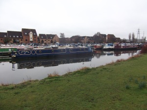
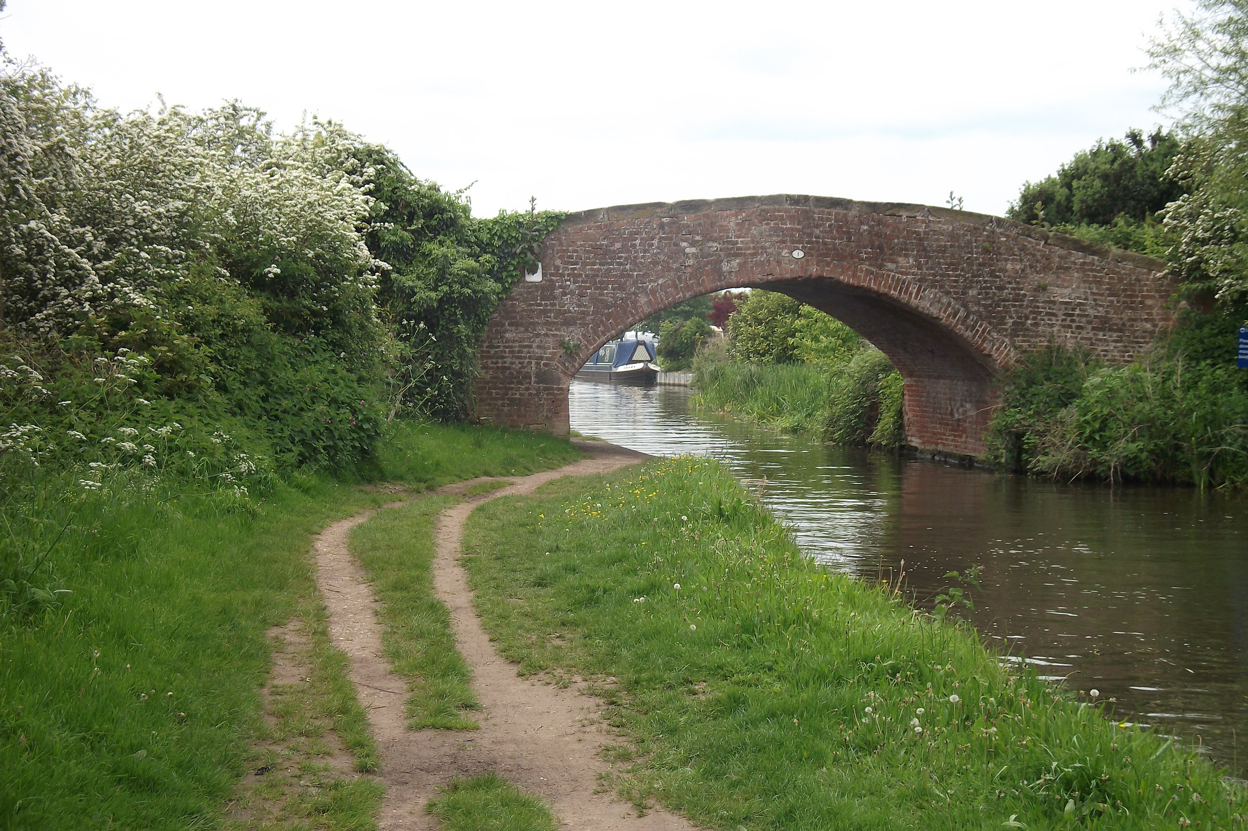
You reach the Trent and turn left. After a kilometre you reach Beeston Marina and then Beeston Lock. Cross a short bridge on the right over the lock onto an island and almost immediately afterwards cross another short bridge on the left.
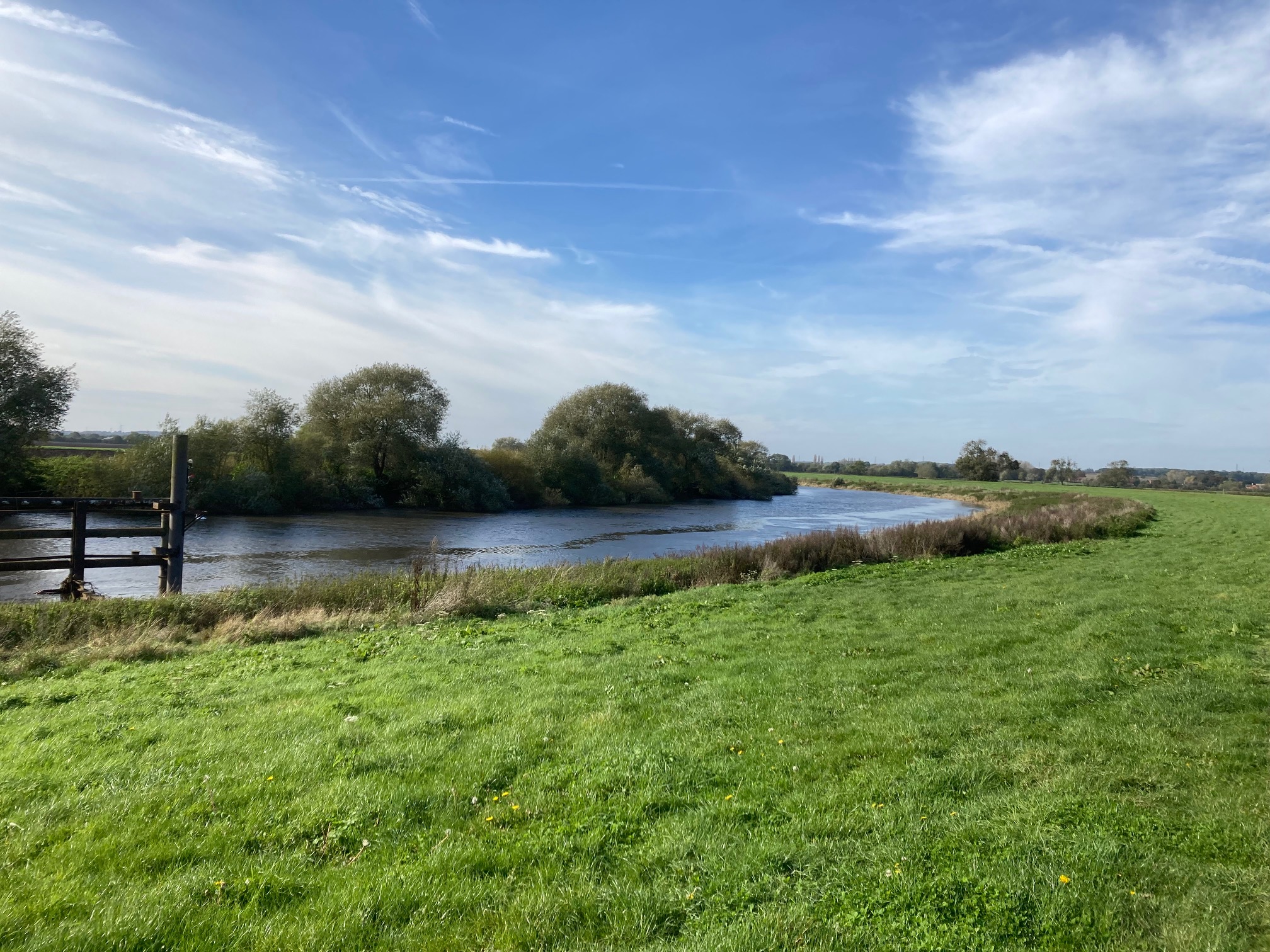
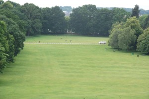
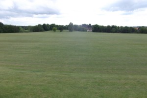
After crossing the bridge you reach a good firm path. Turn right and follow this alongside the river. This route is a cycle path route into Nottingham known as the Big Track. The path is close to the river on the right and a large sports field on the left with football pitches. The view to the river is occasionally blocked by trees but most of the time it’s clear.
After 300m the river makes a sharp turn left and so does the Big Track. To your left are arable fields and on the right you mostly have clear views of the river although you go through a few area of trees. You go past another playing field a little further from the river and after more arable fields come to the Riverside Sports Complex, a larger area of pitches. Just after that you walk along the quiet tarmac of Lenton Lane and close to Dunkirk Football club for 100m before returning to the track next to the river. Soon go past the Michelin star restaurant of Sat Bains and then under the busy Overpass road at Clifton Bridge, still staying by the river.
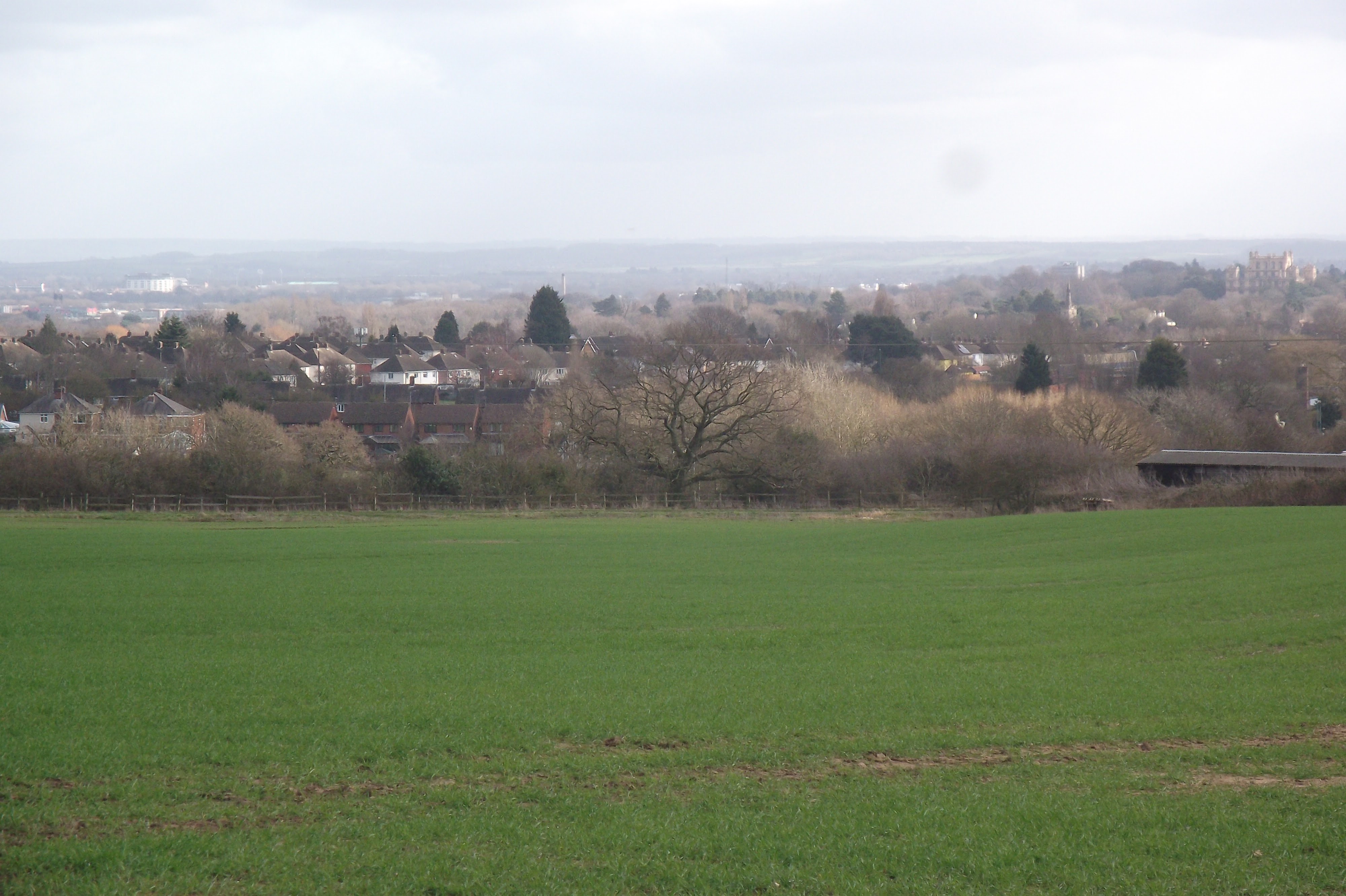
This bridge is an informal boundary between the more rural approach to Nottingham and the start of the city itself. Until now on this stage the view to the left has been open fields or sports fields but from here the infrastructure of the city means that things are more confined. Having said that, the next kilometre does have a good number of trees near the path, hiding some of the urban clutter.
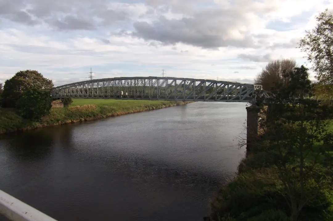
After that kilometre you leave the Big Track and briefly the river as you come out onto the pavement by Queens Drive, a major route into Nottingham. Soon the river returns to view and the pavement stays close to it. After 500m Queens Drive bends away from the river but we bear right to stay with it on a quieter road. In another 300m you come to the old Wilford Toll Bridge. The path goes underneath it and you start the elegant bend and environment of the Victoria Embankment. This is one of the finest stretches of urban walking in Nottingham with a wide, almost traffic free, tree-lined road at the top by a grassy slope going down to the Trent. You can walk either right next to the river or along the road with both being pleasant. One thing to be aware of if you stay next to the water is the Canada geese and the droppings they leave behind.
Just after the crown of the bend as the river turns north you reach the Wilford Suspension Bridge, one of the best looking bridges anywhere on the Trent. This is a pedestrian bridge and you can feel it bouncing slightly if you walk across it. However we don’t cross the bridge, staying on this side of the river on the Victoria Embankment which soon brings you to Trent Bridge and the end of this stage of the Trent Walk. You can go under the bridge on a riverside path to reach the start of the next stage. Alternatively you can go up to the road for buses into Nottingham or walk into the city centre a mile away.
However, another option if you want to do a circular walk back to Beeston or Attenborough is to follow the route described below which follows the canal.
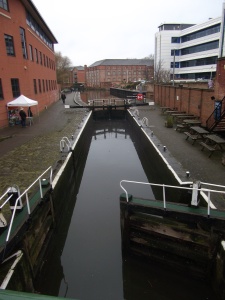
After going through the tunnel under Trent Bridge join a wide path next to the river. After 200m the path crosses a bridge over a canal to join the towpath. Turn left and follow the towpath for a kilometre towards the centre of Nottingham. You are below road level and go under several bridges. Go under the railway bridge and one more before you immediately turn right near Binks Yard and go up steps to the bridge from where you can see Nottingham railway station.
Go over the bridge you just went beneath and then turn right to go down to the canal again. Almost straight away the canal turns ninety degrees to the left and you follow it. Go under a bridge and stay alongside the canal as it goes past new hotels and apartments. Next you walk under Trent Street and the bridge taking trams to the station before going beneath Carrington Street. Go past the Law Court building on the left but stay by the canal as you go below Wilford Street.

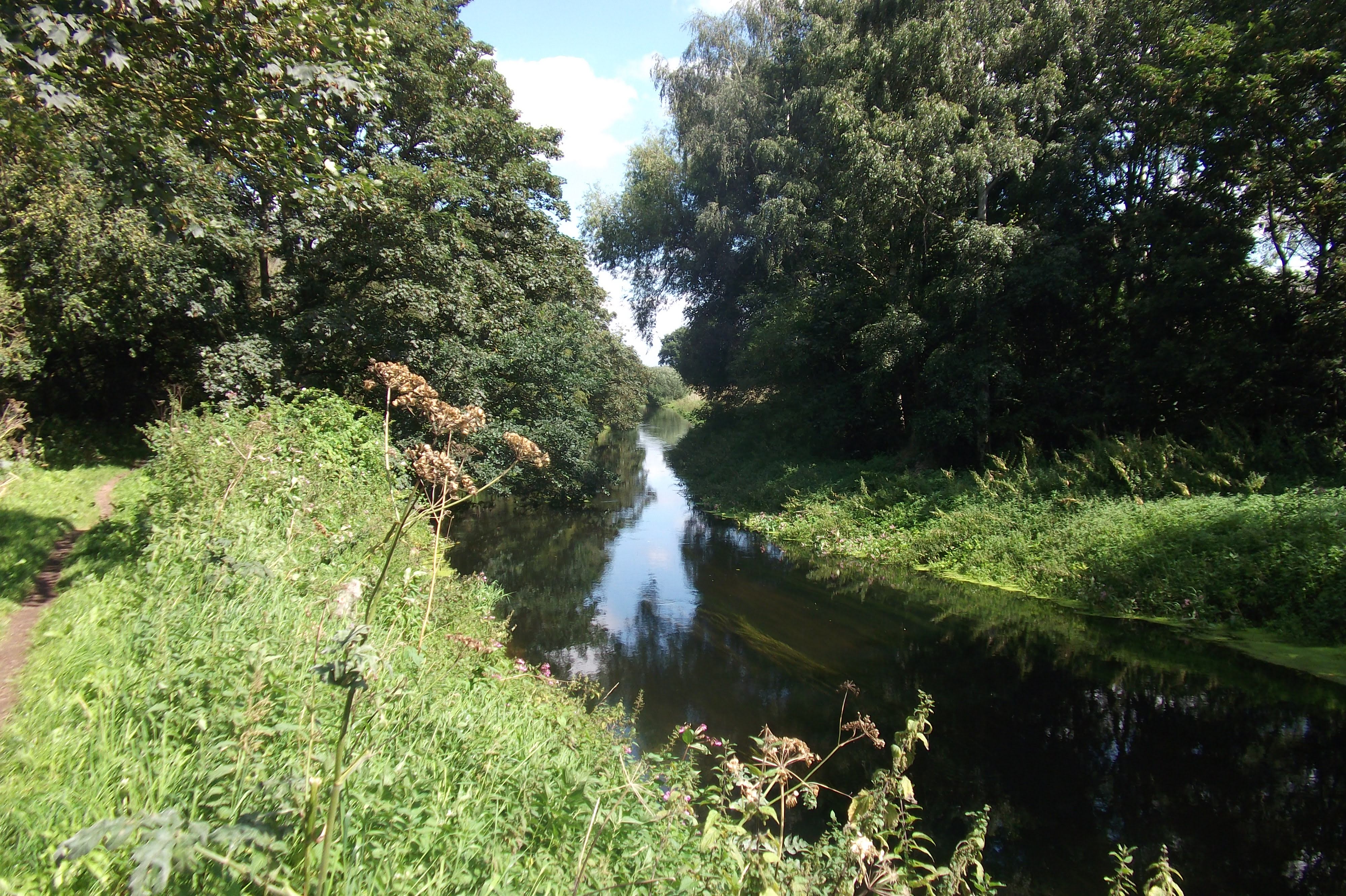
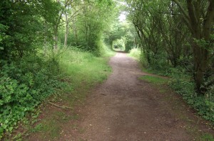
The next few miles of the walk are all along the canal towpath, which has a proper hard surface for most of the way. The first stretch is close to the hustle and bustle of the city yet is still quite quiet with plenty of greenery around and with ducks, geese and other water birds in reasonable numbers.
After around half a mile you reach see the Water’s Edge pub on the left. Go straight along over a footbridge that goes up over the entrance to Castle Marina and then down under a wide road where you rejoin the towpath at canal level.
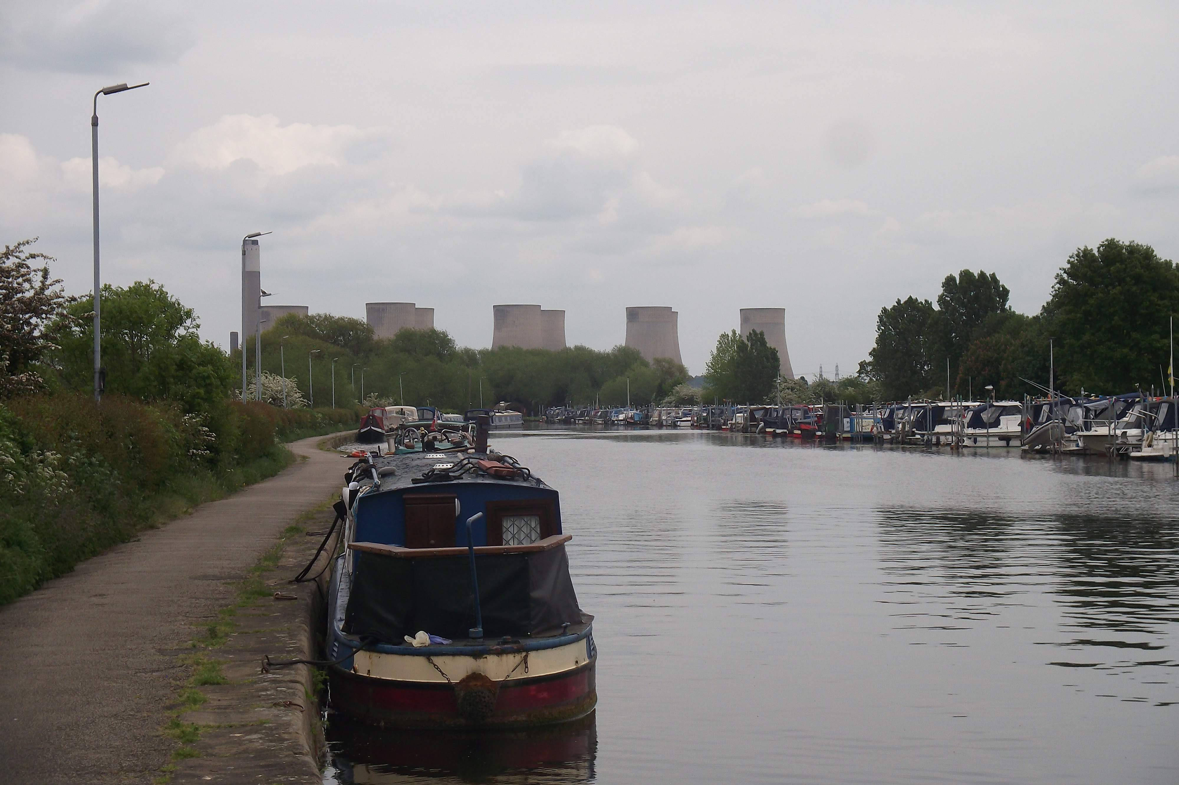
On your left here is Castle Marina containing many boats and a retail park with amenities. Carry on along the towpath under a railway bridge and after 200m a road bridge.
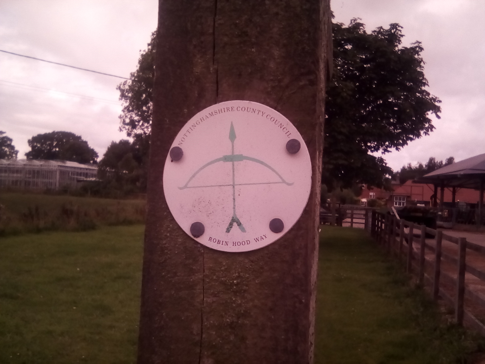
The towpath now bends to the left. We are now going South. After 400m go under a big flyover (Clifton Boulevard), where the Robin Hood Way leaves the towpath, and in another 100m go under a bridge which carries a railway.
After another 400m go under a road bridge. There have been some industrial buildings on the far bank but soon things become a little more attractive as in the 800m to the next bridge you start to see more trees on the far bank of the canal. On our side the towpath is still very good for walking and well surfaced although there is either a bank or wall to the left so not much of a view. This is a quiet area and you will probably just meet a few others along the towpath.

After this bridge there is a kilometre before another one and a distinctly rural feel to things. You will see a sign to the left showing that you are near the large Boots complex.
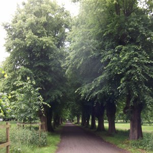
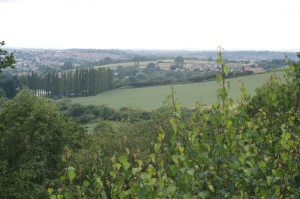
Just before the next bridge we follow the towpath which leaves the canalside to go up a small slope. The bridge over the canal here goes across to a residential area but we stay on this side and stay along a path on an embankment. There is a wooden signpost showing that we have joined the Trent Valley Way, Nottinghamshire’s second long-distance path. The view on the left opens up for the first time and you can see some low hills. Continue along this good firm path with playing fields ahead just below you to the left and the canal on the right.
After 600m you come to the end of the playing fields near a building and return to Beeston Lock from where you can retrace your steps to the start of the walk.


